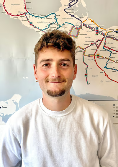
Toni Huré
Geographer and Cartographer
Public transport training, specializing in geographic information and user-oriented design.
I started using maps when I was 7 or 8 years old, inventing countries, regions, or cities. They all had trains, trams, and buses; I designed fictional public transport networks.
I worked in several companies (an architecture and urban planning studio, a travel agency, and a passenger transport company) and in several countries (France, Iceland, and Spain), as a cartographer, graphic designer, and mobility technician.
My goal is to provide information to all users, whether on public transport, during sightseeing tours, while traveling, or in everyday life. Maps are an essential tool for every citizen to understand their surroundings and access all places.